


© University of Liverpool, Department of Earth, Ocean & Ecological Sciences 2013
G E O - O E R


This is a collection of photographs illustrating the Geology of Hilbre Island (Click on an image to enlarge it)
.
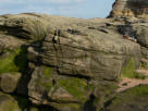
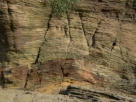
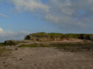
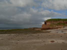
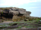
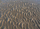
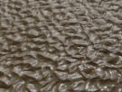
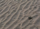
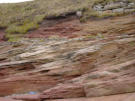
Hilbre Island is an island at the mouth of the River Dee. It is the largest of a group of three islands which form a Site of Special Scientific Interest. The other islands are
named Middle Eye and Little Eye. Hilbre Island is approximately 47,000 square metres in area and it is about 1.6 km from the nearest part of the mainland of the Wirral
Peninsula.
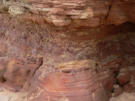
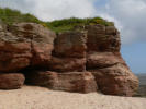
Rocks on Hilbre Island are of Lower Triassic age and form part of the Sherwood Sandstone Group. These rocks are mainly reddish brown to yellow grey coloured
sandstones, although there is a band of conglomerate and some red brown siltstone layers exposed on the island.
The rocks were originally deposited as sand and gravel in river channels forming river terrace deposits or as fine silt and clay deposited on flood plains during times when
the river flooded over its banks.
After they were formed the rock layers were affected by earth movements. The layers have been tilted slightly to the north and faulted. A steeply-dipping normal fault is
exposed in the cliff sections on the southern side of the island.
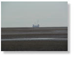
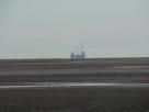
These photographs show the rocks and scenery around Hilbre Island. Looking out into Liverpool Bay you can see a gas rig in the distance. Gas is drilled from sandstone
layers 800 to1100 metres below Liverpool Bay.
Click on each photograph and see if you can identify:
· cross bedding in the sandstone (indicating original transport of sand by currents)
· a conglomerate layer (coarser material originally deposited as a river gravel)
· evidence of weathering and erosion
· straight-crested ripple marks in the modern day deposits formed in the estuary


Pdf file of the rocks on Hilbre
This pdf file is a poster describing the rocks on Hilbre Island, showing
where they are exposed today and how they were formed in the past.


